Exploring some of Algonquin Provincial Park in Ontario is part of an occasional series exploring North America’s national, provincial and state parks.
BRENT, Ont. — This post wasn’t going to be about railways and trains. It was going to be about a little community on Cedar Lake that appears at the edge of the forest with a fading wooden sign: “Downtown Brent business district.”
There are 19 buildings in Brent, which is reached by driving 40 kilometres of pitted gravel road inside Algonquin Provincial Park. Although these buildings are only occupied during the summer months, at its peak Brent was a bustling town of 400 people with a church and a school.
And a railway station.

There is rich red and white pine in this part of the Ottawa valley. That white pine, especially, was needed to build British ships in the 1800s, and loggers flocked to this stunning piece of the Canadian Shield — the railway followed.
Canadian Northern rail families lived in boxcars in Brent until homes were built for them as the town slowly grew up, and Canadian Northern became part of Canadian National Railway. The school, we learn from the research of Doug Mackey, was first housed in a passenger coach.
Brent was isolated, but thriving. Passenger trains arrived daily and the town had a restaurant, activities for tourists, bunkhouses for the loggers, and a pine ranger’s cabin that remains today.

By the 1970s, the government was tracing the outline of Algonquin Provincial Park — it would swallow Brent and several other communities. The logging business had changed and the trains had been rerouted. Within a decade, trains would stop coming to Brent completely. The tracks were pulled out in 1997.
Brent isn’t quite a ghost town. The general store is still in operation as Algonquin Outfitters and offers canoe and other types of rentals. A few cottages remain on leased land, and a map at the end of the rugged road shows where the roundhouse, track bed and cemetery were.
And the pines. The pines are as alluring now as when the British needed them to build their ships.

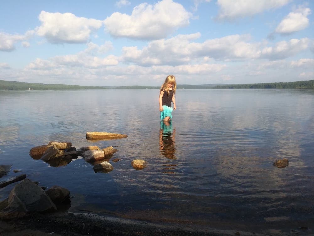
We aren’t giving any stroller wheels to Algonquin Provincial Park. Not because it isn’t deserving, but because we spent very little time there and it is geared more toward campers and adventure tourists. For an hour or so, we played on the small, clear beach and watched canoeists make their way along the lake.
On the drive back from the beach, we stopped briefly to marvel at the deep curve Brent crater blasted into the valley. There is an observation tower at kilometre 32 from which you can see the mark left by one of the biggest meteors to hit Earth. The cavity is nearly four kilometres in diameter and was discovered by an aerial surveyor in 1951.
The plaque at the bottom of the observation tower reads: “It is calculated that the impact released energy equaling 250 megatons of TNT” about 450 million years ago when this area was “probably a shallow sea.”

